

 Use the new PAMF app!
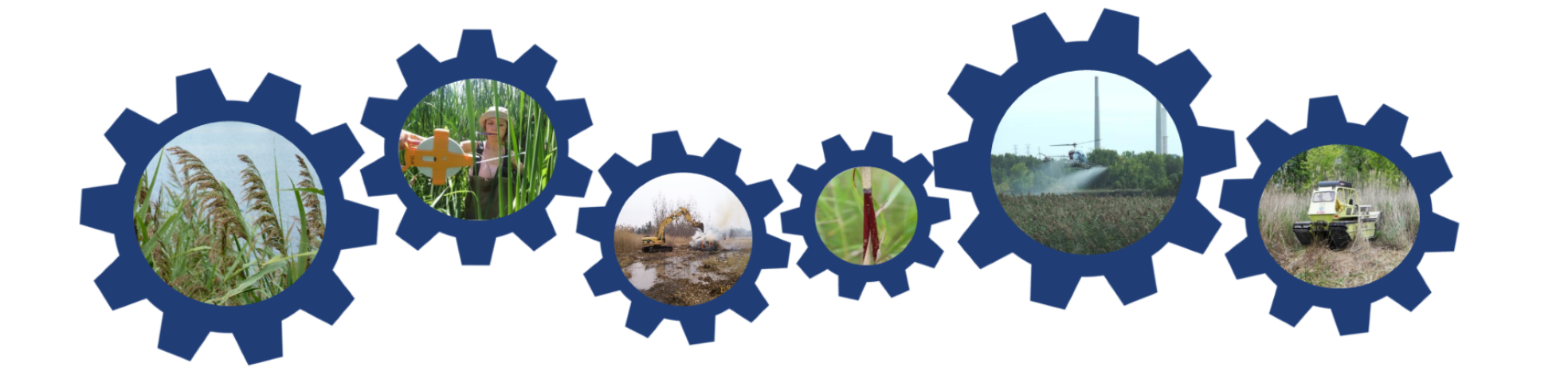
Beginning in 2025 we are offering a new, optional way to enroll PAMF management units and monitor them in the field using an Esri Field Maps app. This app, which will be available on smartphones or tablets, will allow you to draw management unit boundaries and collect monitoring data on the fly, letting you bypass use of the PAMF Web Hub for these activities (although, you will still need to enter your management reports on the Web Hub). View a preview video of the app here!
Want to use the app?
You will need both a PAMF Web Hub account and an ArcGIS Online account with collector privileges. If you have both of these already, request to access the PAMF app using this form (users with existing management units, see below). If you or your organization do not have access to ArcGIS Online, request a free community account here! Note: a limited number of free accounts are available. The PAMF Participant Guide and PAMF training courses are updated with a user guide to the app.
Watch a video tutorial on how to use the app!
➡️ REQUEST TO ADD YOUR MUs! ⬅️
If you already have management units enrolled in the Web Hub that you would like us to add to the PAMF app for you prior to the upcoming field season, request to add them here! Otherwise, you will only be able use the app to enroll new management units and monitor them. Please submit your request by June 7 to make them available for the current year’s field season.
Have a question about the app? Email us at pamf@glc.org.
Join PAMF
Anyone managing non-native Phragmites in the Great Lakes basin can participate in PAMF. Click the button below to get started!
Questions?
Please contact: Samantha Tank, Great Lakes Commission at pamf@glc.org